

CONSTRUCTION & MAPPINGTHE DATA
YOU CAN'T GET
FROM THE GROUND.
Progress documentation, site surveys, and precision orthomosaic mapping for construction teams who need to make decisions based on what's actually happening — not what someone reported from the field.
the problemPROGRESS REPORTS LIE.
AERIAL DATA DOESN'T.
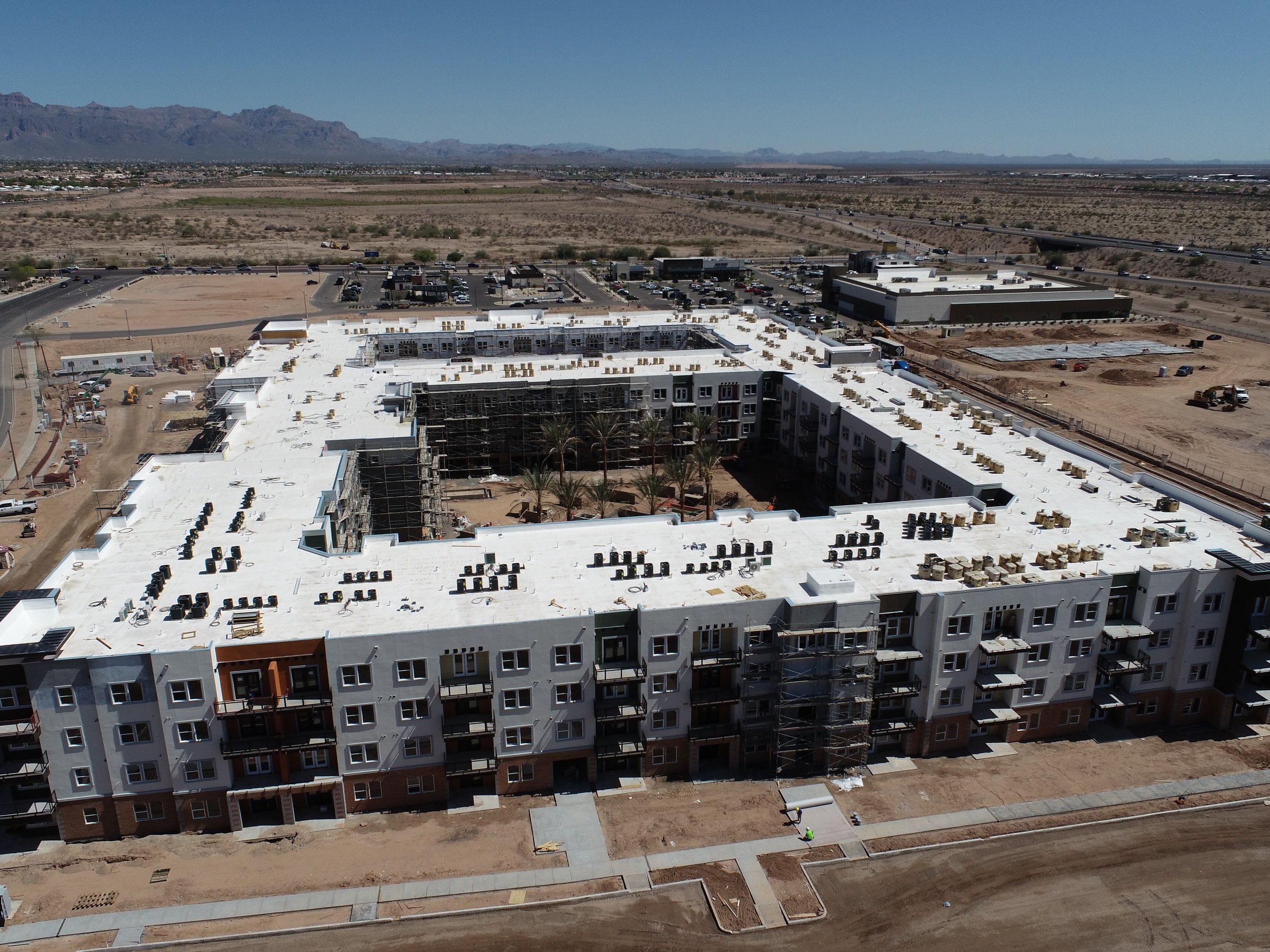
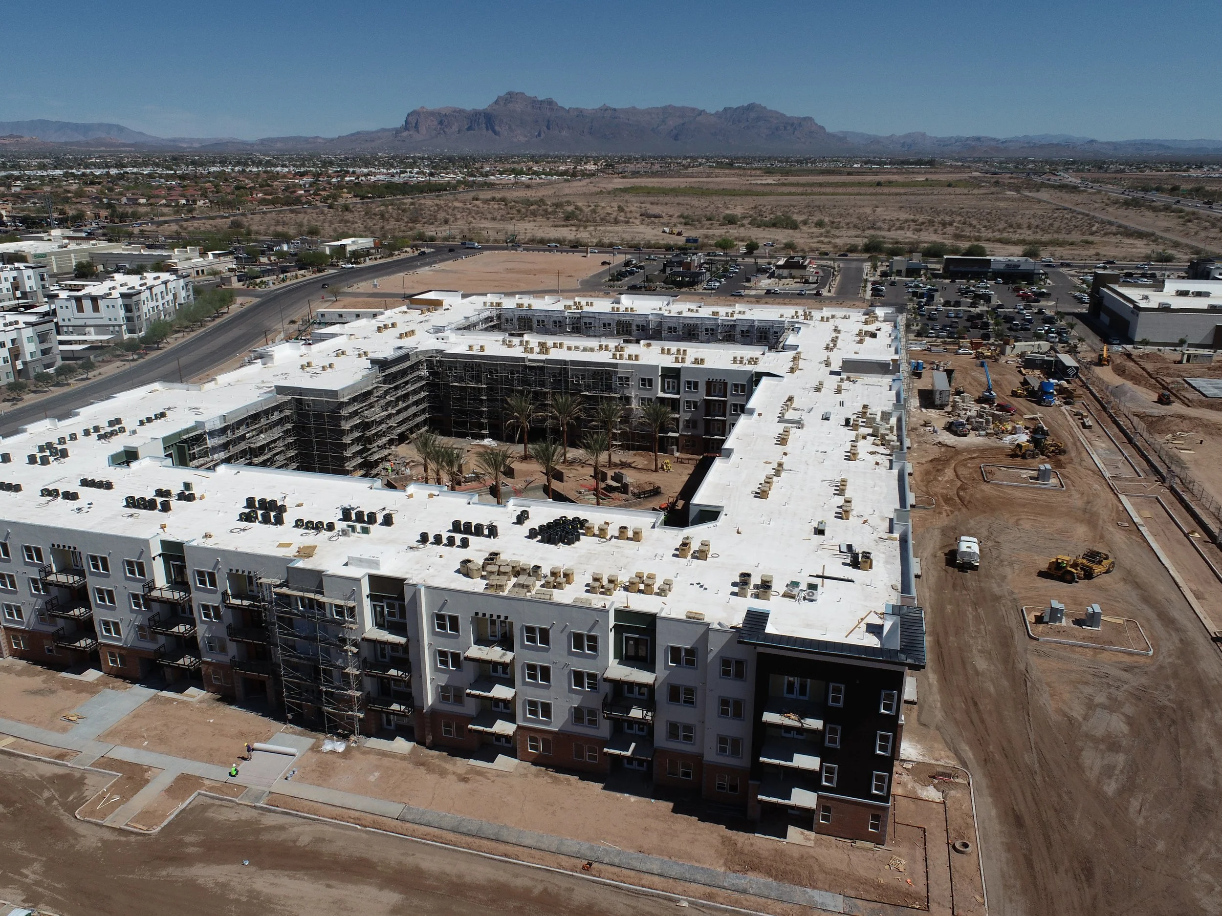
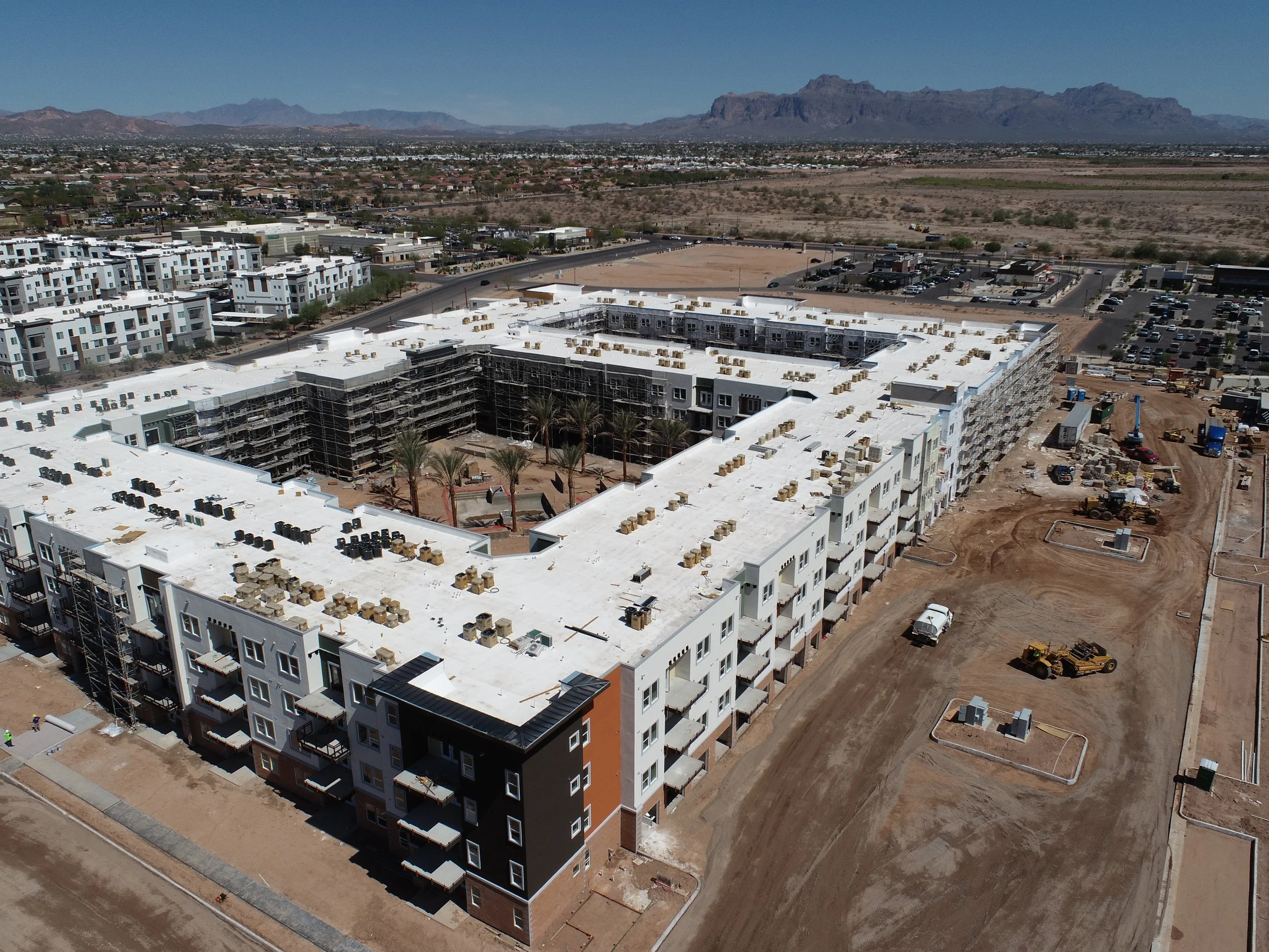
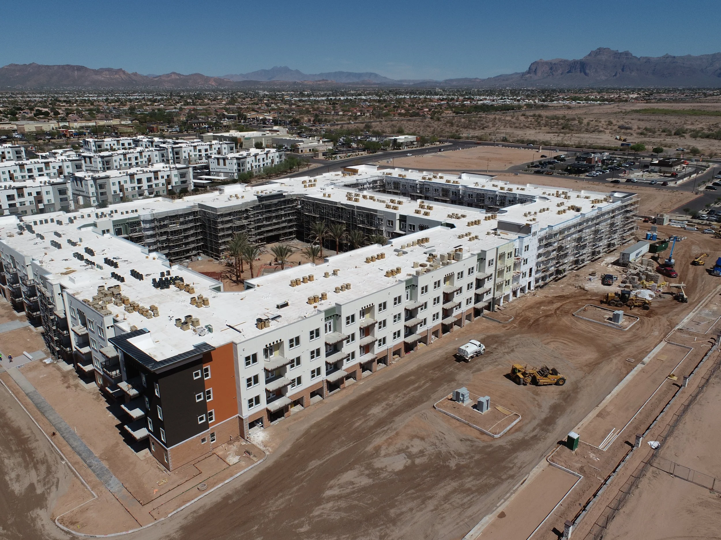
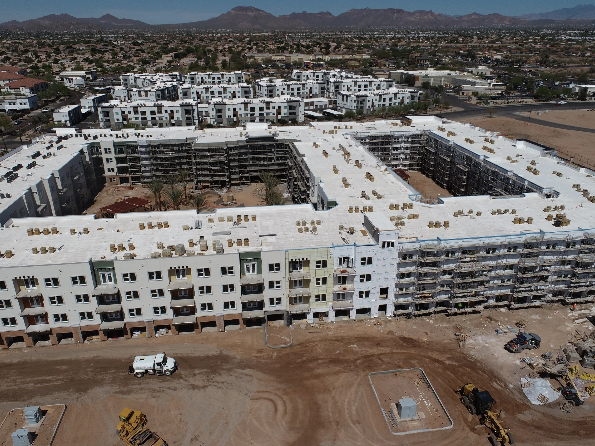
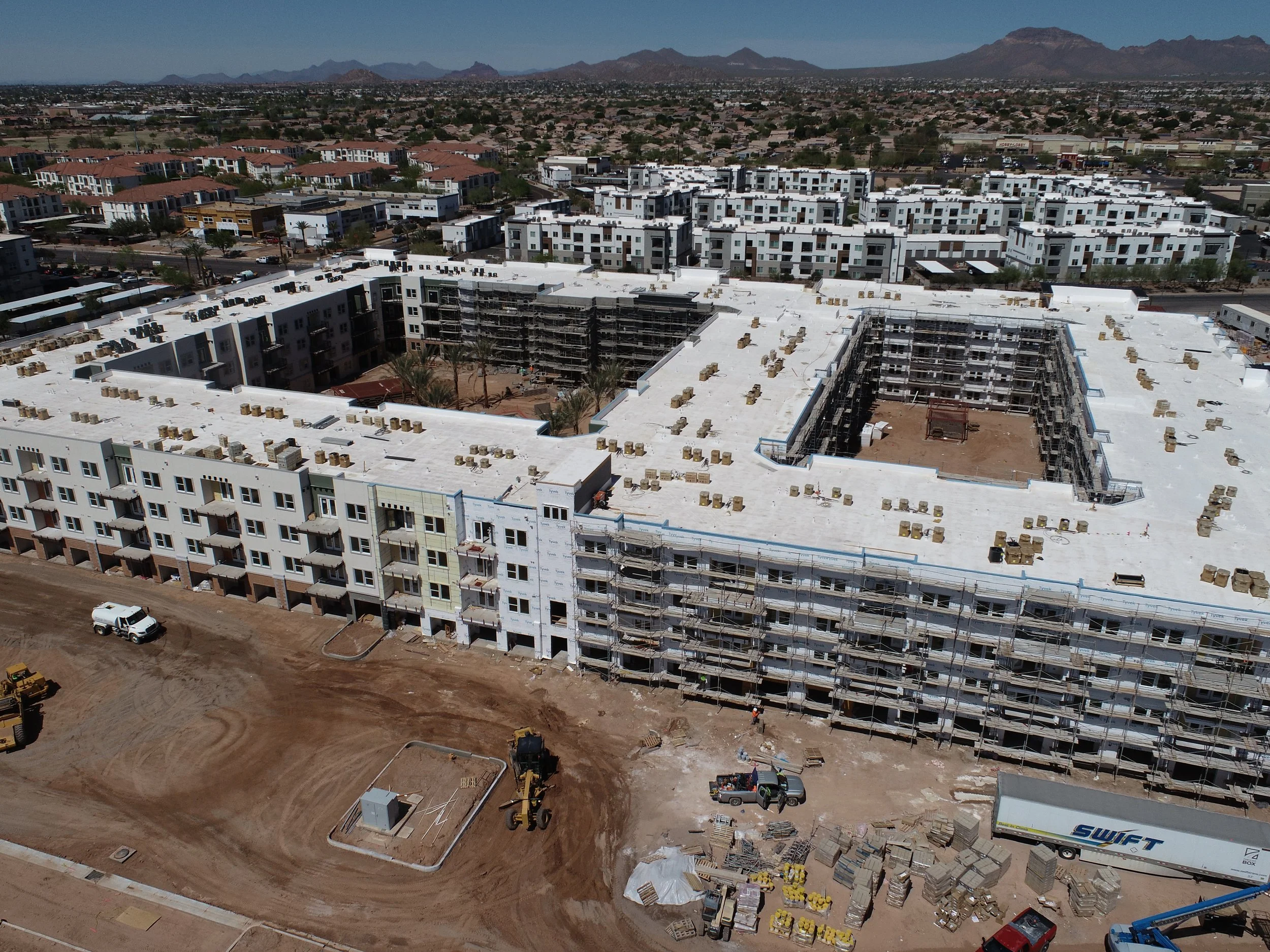
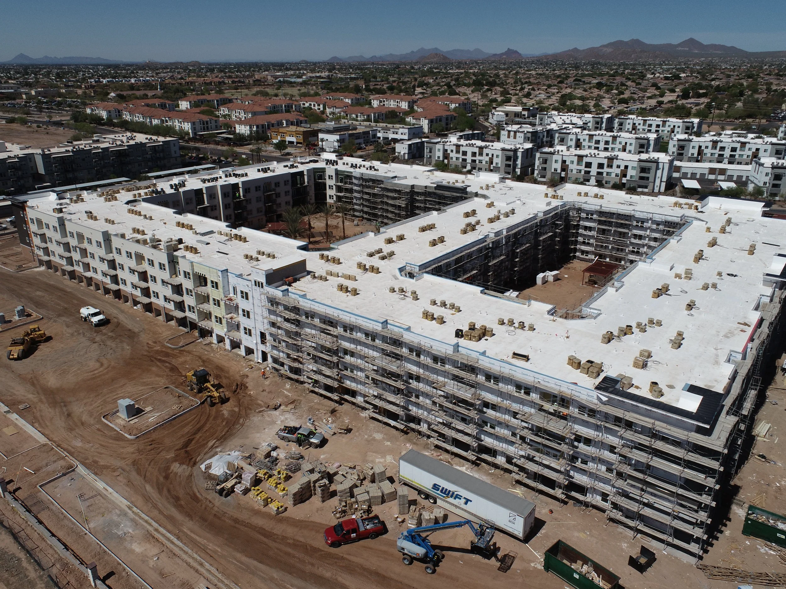
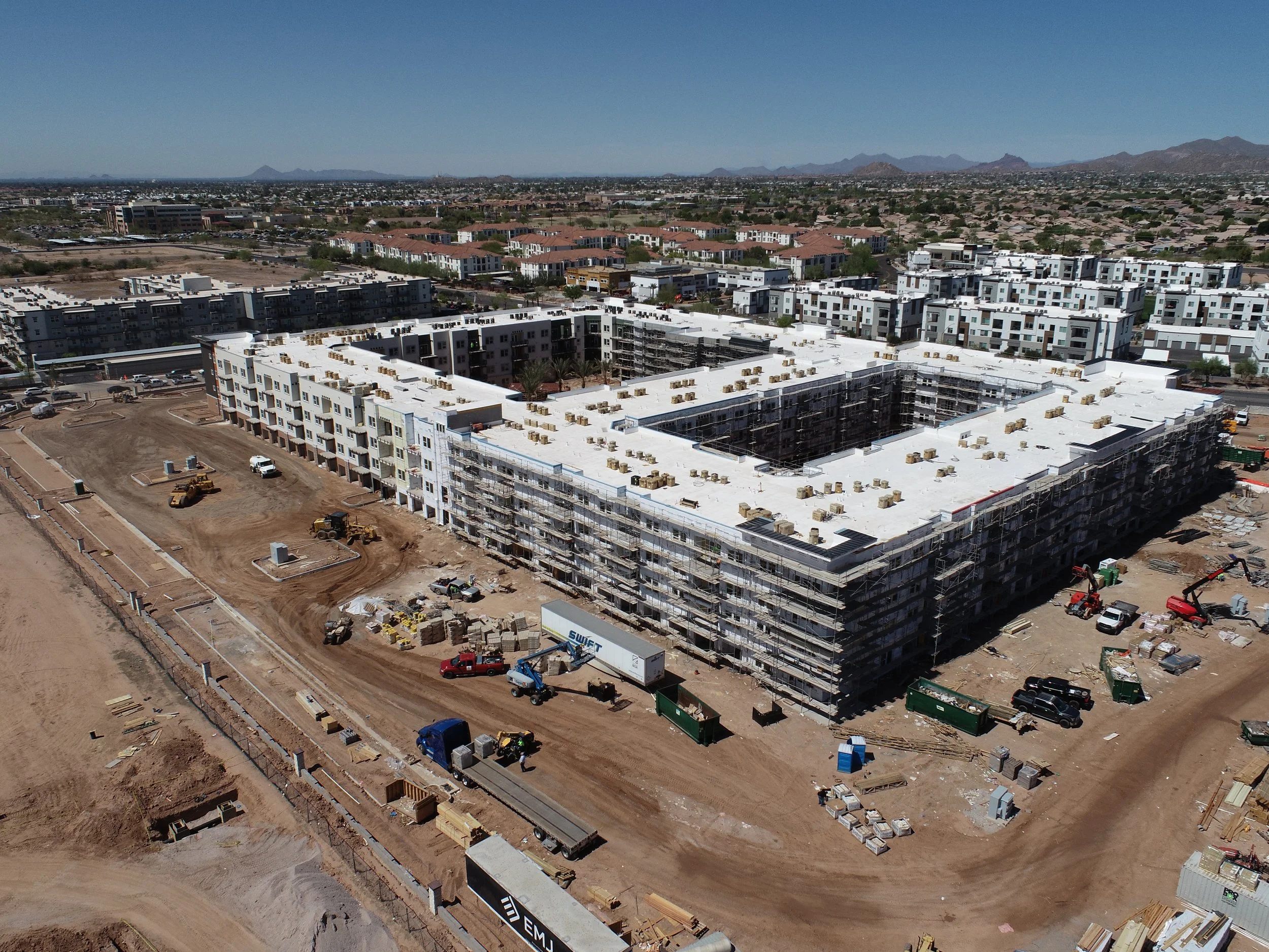
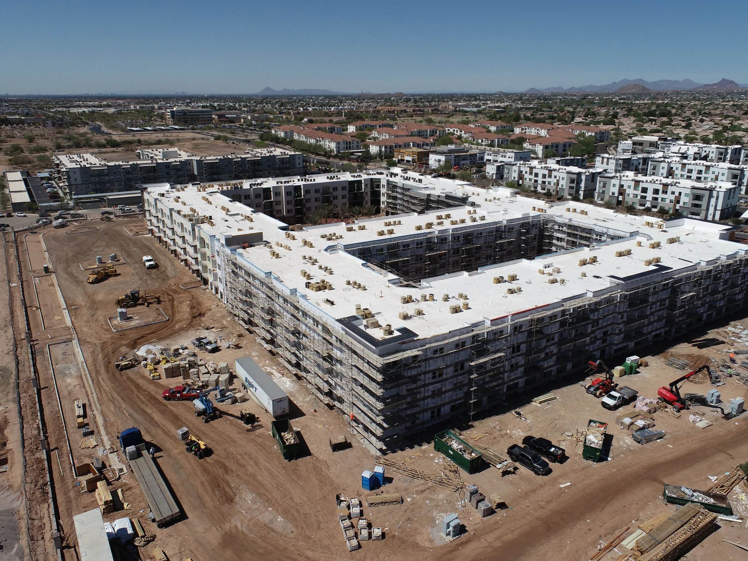
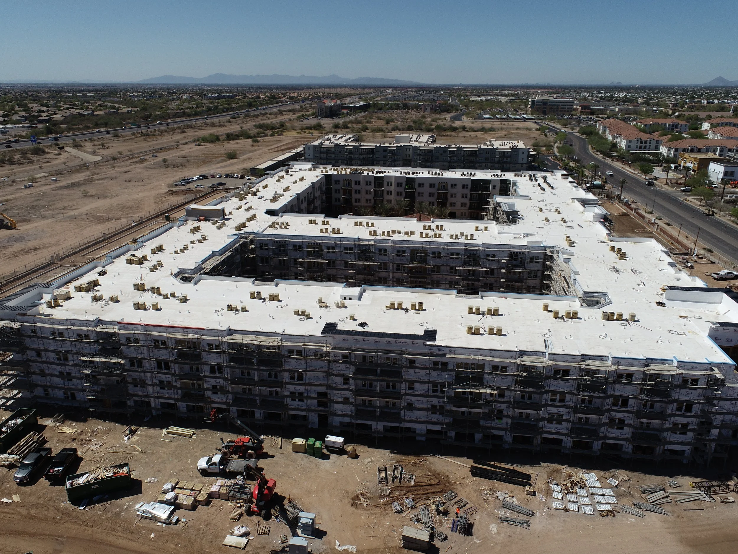
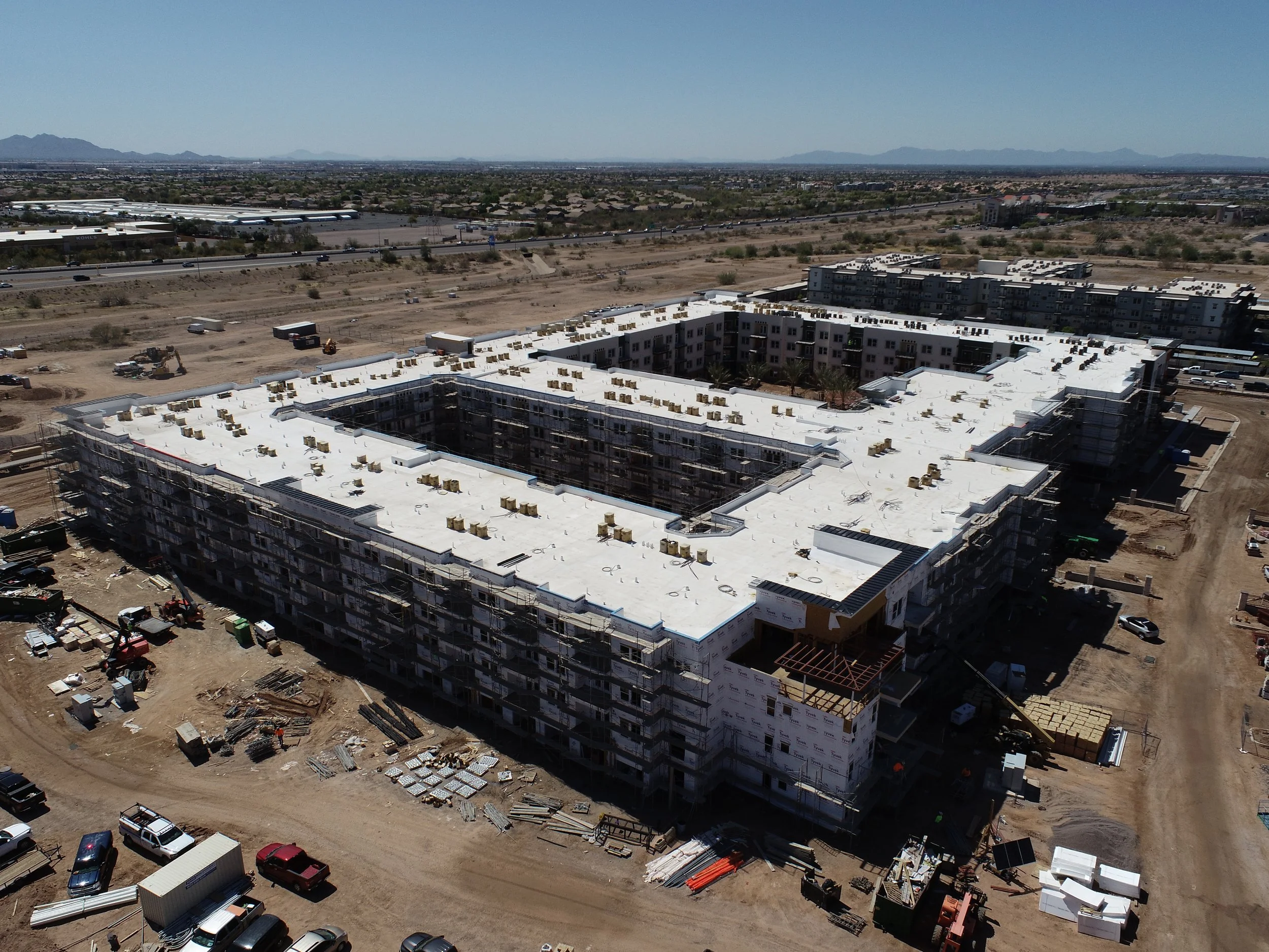
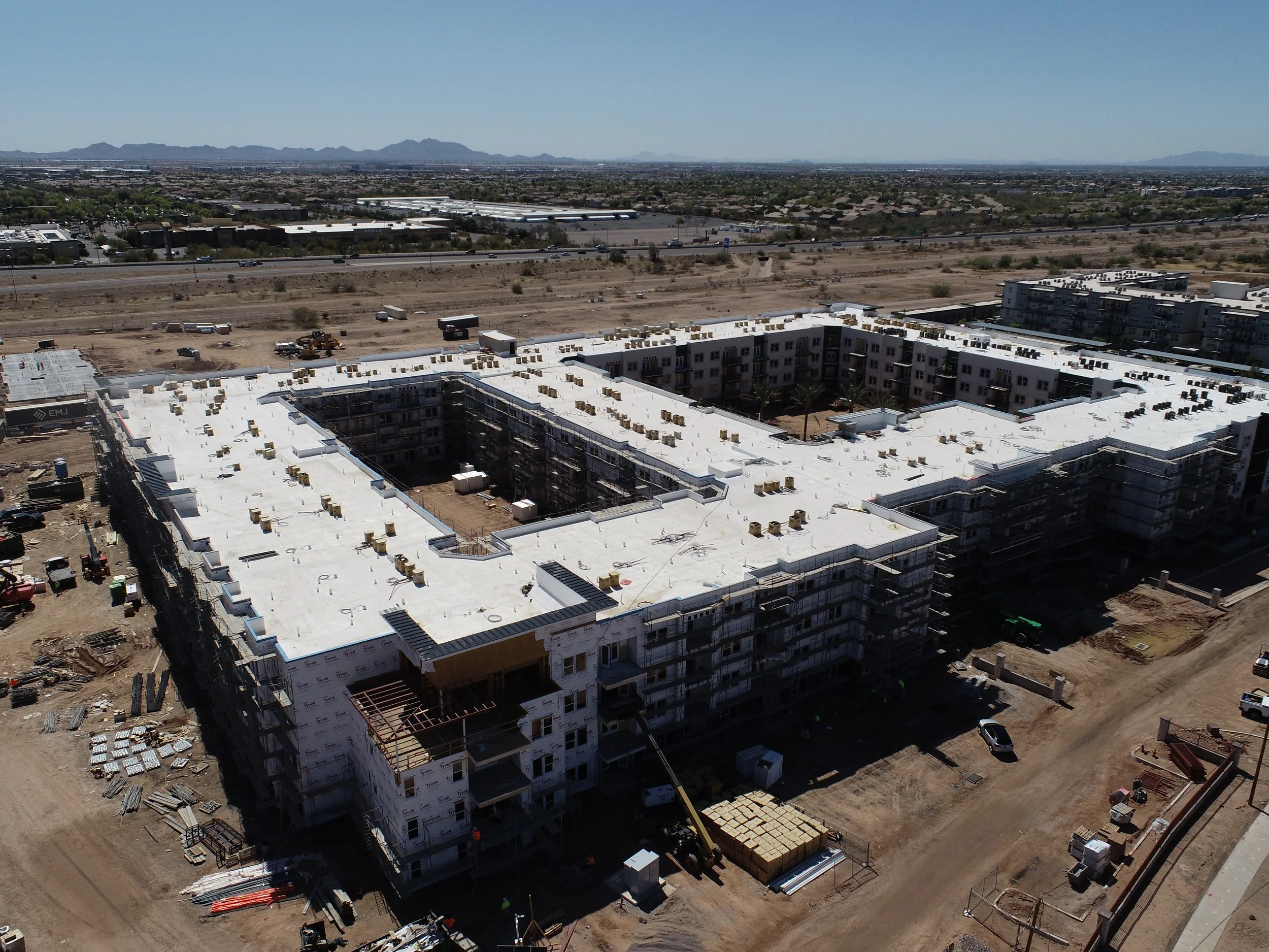
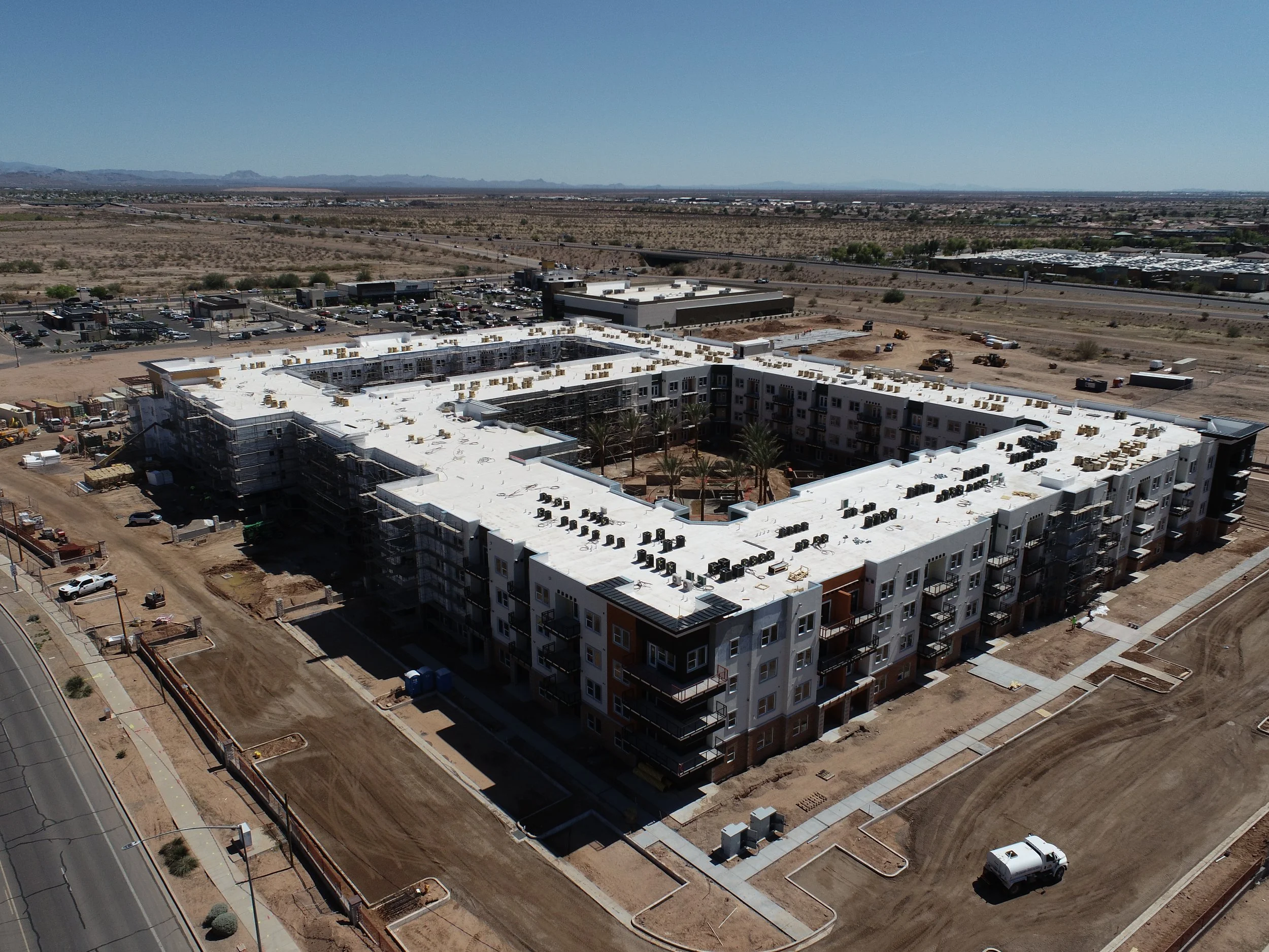
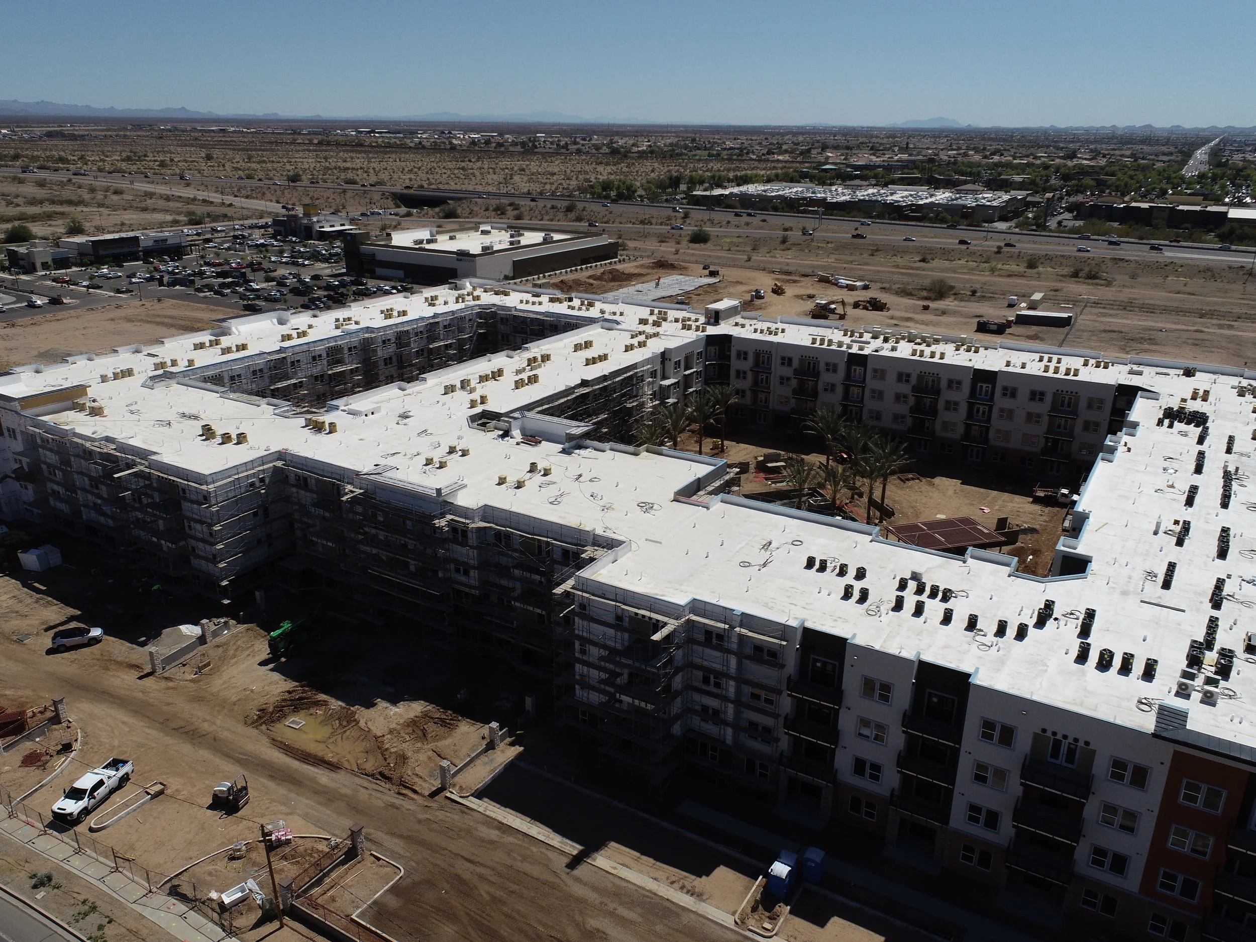
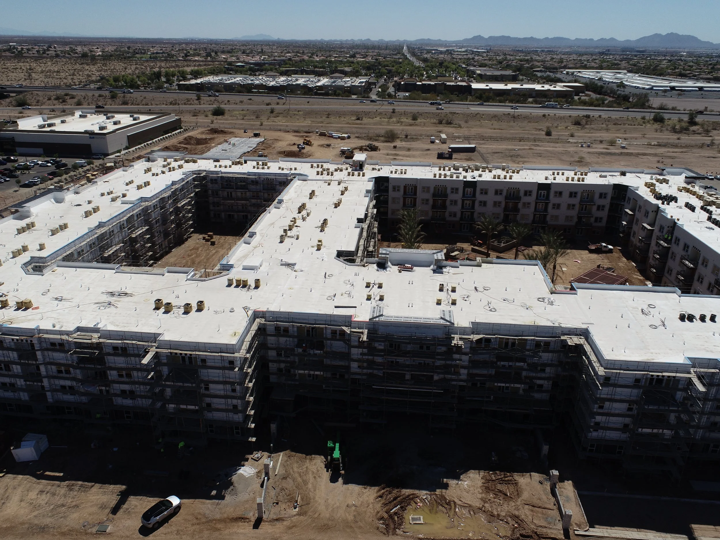
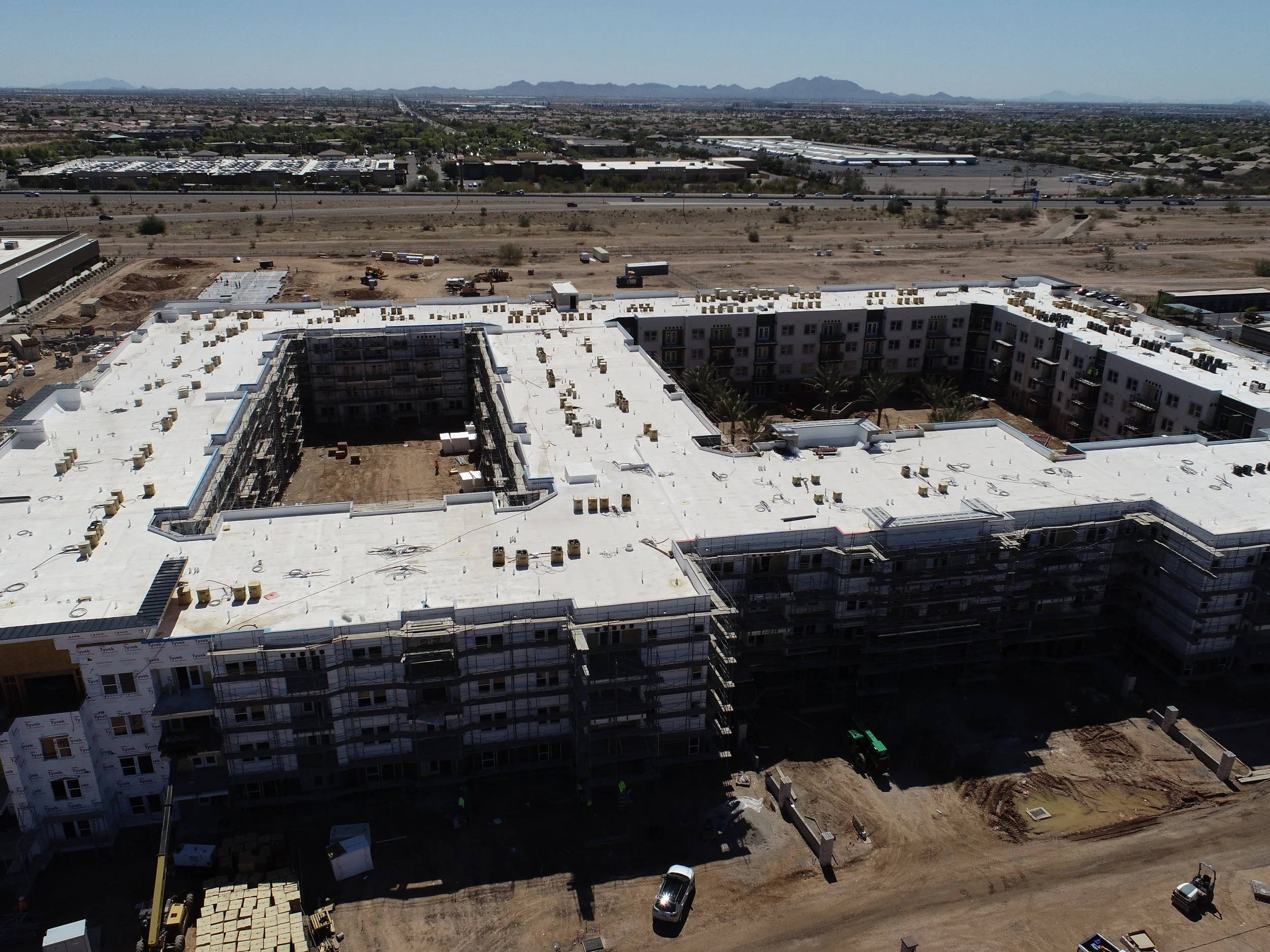
Construction projects generate thousands of decisions. Most of those decisions rely on field reports, phone updates, and photos taken from eye level by someone standing in the middle of the site.
Aerial documentation gives project managers, owners, and stakeholders a single source of truth — captured at consistent intervals, from consistent altitudes, with measurable data layered on top. It's the difference between "I think we're on schedule" and "here's the proof."
capabilitiesWHAT WE DELIVER.
Every construction engagement is scoped to your project. Here's what's in our toolkit.
◎
PROGRESS DOCUMENTATION
Scheduled aerial flybys — weekly, biweekly, or monthly — that create a timestamped visual record of your build from foundation to finish.
◫
ORTHOMOSAIC MAPPING
High-resolution composite maps stitched from hundreds of overlapping images. Accurate, measurable, and exportable to your project management tools.
△
SITE SURVEYS & INSPECTIONS
Pre-construction site surveys, roof inspections, and terrain assessments that reduce the need for scaffolding, lifts, and manual site walks.
▣
STAKEHOLDER MEDIA
Polished aerial video and photography for investor updates, board presentations, and marketing. Footage that makes the project tangible to people who've never visited the site.
◈
3D MODELING & VOLUMETRICS
Three-dimensional terrain models and volumetric calculations for earthwork, stockpile measurement, and grading verification.
⊞
TIMELAPSE DOCUMENTATION
Compiled from recurring flights, construction timelapse videos that compress months of progress into minutes. Built for stakeholder reporting and marketing.
who this is forBUILT FOR THE PEOPLE
MANAGING THE BUILD.
GENERAL CONTRACTORS
Document progress for owners, coordinate subcontractor timelines, and reduce disputes with visual records no one can argue with.
PROJECT MANAGERS
Replace manual site walks with scheduled aerial documentation. Identify problems earlier. Report progress with data, not guesswork.
DEVELOPERS & OWNERS
Keep investors and stakeholders informed with professional aerial media that makes project status clear, without requiring a site visit.
How we worksSCOPED TO YOUR PROJECT.
Construction jobs vary dramatically. A one-time site survey is different from a 12-month documentation engagement. We scope each project individually so you get exactly what you need.
01
consult
A 15-minute call to understand your project scope, timeline, and what data you actually need to make decisions.
02
scope
We build a custom proposal — flight frequency, deliverable types, data format, and pricing — tailored to your build.
03
execute
Scheduled flights, consistent data capture, and professional deliverables. On time, every time, for the duration of the engagement.
04
deliver
Files in the format your team uses — exported for DroneDeploy, Procore, or whatever platform drives your workflow.
Typical engagements range from a single site survey to 6–12 month documentation contracts. Pricing depends on flight frequency, site complexity, and deliverable requirements. We'll give you a clear quote after a 15-minute scoping conversation.
start heretell us about
your project.
15-minute call. No pitch. We'll ask about your site, your timeline, and what data would actually make a difference — then we'll build you a proposal.